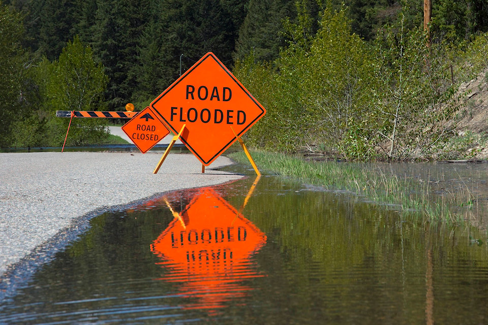
As lake levels begin to recede across the Shuswap waterfront, property owners are breathing a sigh of relief and roads that were closed are being reopened.
The lake level, measured in Sicamous, peaked at just less than 349 metres above sea level. Following the peak near the end of May, the lake level has dropped steadily but heavy rains on June 11 and 12 slowed the lake level decline somewhat. The level sits at approximately 348.8 metres above sea level. The lake’s level was well below the destructive high reached in 2012.
Read More: Severe thunderstorm watch upgraded to a warning for Okanagan-Shuswap
Read More: Jack the cat finally came back with help from dedicated Salmon Arm volunteers
On June 10, the Columbia Shuswap Regional District (CSRD) advised residents to keep their flood protection measures in place despite falling lake levels.
One of the most noticeable signs that lake levels in the area are dropping is the reopening of Skimikin Lake Road. The road was closed earlier in June as runoff into the lake overflowed its banks. Road maintenance contractor AIM Roads reported that the road was able to be reopened on June 13.
jim.elliot@saobserver.net
Like us on Facebook and follow us on Twitter