While “I’m done with winter” is already becoming a common refrain among Shuswap residents, the recent snowfall hasn’t been record-breaking.
In fact, Doug Lundquist, a meteorologist with Environment Canada, said the 2019/2020 winter is nothing special.
“It is not a snowy winter,” said Lundquist, basing his findings on snowpack data recorded at a weather station in Silver Creek. Compared to 30 years of winter weather records, so far the Shuswap is experiencing its 12th wettest winter.
In terms of snowfall, the area received a total of 3.2 centimetres for the months of October and November 2019, while December brought 78 cm, the fifth-highest in three decades.
Read more: Another 10 centimetres of snow expected for the Shuswap
Read more: Environment Canada forecasts 10-15 cm of snow for Shuswap
“Nothing seems unusual about this year to me,” Lundquist said, making one exception. Data shows recent weeks have been dry enough to compete with previous years for the driest start to winter.
The award for the most severe winter recorded by the Silver Creek station goes to the winter of 1996, with 337.2 cm recorded from October to May.
Read more: Snow Report: Big week sees over 80 cm of snow for Big White
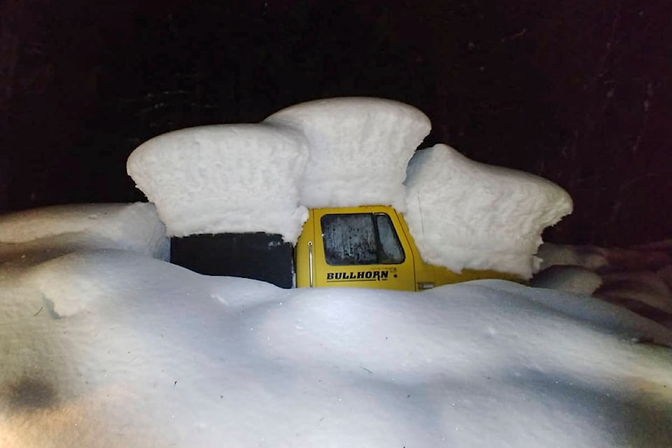
Read more: In photos: Shuswap’s second winter storm buries cars and barricades residents
“I remember that winter, oh my gosh,” said Lundquist. “By this time in that year, we already had 232.7 [cm].”
Lundquist said the region will see more snowfall before the winter is over but doesn’t expect any records will be broken.
@CameronJHT
Cameron.thomson@saobserver.net
Like us on Facebook and follow us on Twitter.