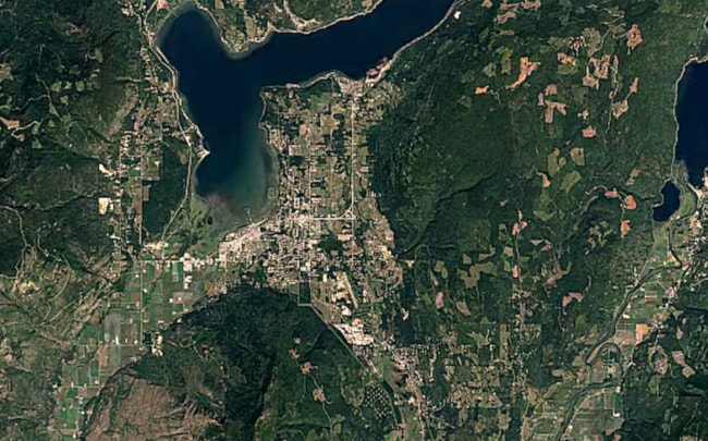
The Southern Interior is one of the fastest growing regions in Canada and Salmon Arm is no exception.
A new interactive time lapse video puts it all in perspective – showing the urban sprawl over the last 32 years.
'Timelapse' is a global, zoomable video that lets you see how the earth has changed in the past three decades.
The map is made from 33 cloud-free annual mosaics, one for each year from 1984 to 2016, which are made interactively explorable by Carnegie Mellon University CREATE Lab's Time Machine library.
Using the Google Earth Engine, Timelapse creators combined more than five million satellite images acquired over the past three decades by five different satellites
You can check out the map above and watch how Salmon Arm came to be.
You can also watch as the Columbia Glacier seemingly disappears or watch as the oil industry changes the landscape of Alberta.