Like a grizzly bear with cubs, the Salmon River tends to go pretty well anywhere it wants.
So far this year, it hasn’t made its domain the yards and homes of many of its neighbours.
Maria Otting lives in the 500 block of Salmon River Road near Salmon Arm, a location which has given her a kind of honorary degree in hydrology.
“We flooded in 2017 on May 6, and May 10 in 2018. The current flow is at around 40 cubic meters per second on our Salmon River. When we flooded in 2018, we were at 77 cubic meters per second,” she explained May 6.
She said her family is not sandbagging this year because they built up a road/berm behind their house after the flood in 2018. They think it will protect them as long as things don’t get worse than the ‘200-year return’ of 2018.
“After those serious floods, you become diligently involved in monitoring the conditions,” she said. “I just don’t feel like we are going to flood this year. With so much snow already having come slowly off the mountain, conditions and water levels being relatively normal thus far, and no major rain in the forecast during this critical time, I feel like we are going to be OK.”
She emphasizes she is grateful to live in a community where neighbours help each other.
Read more: This year’s flooding doesn’t rival 1948
Read more: 2018 - Peak levels for Salmon River forecast for next week
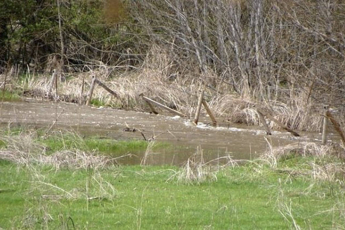
Up the valley, Shelley Work lives at Ravenwood Acres in the 2400 block of Salmon River Road. She’s seen the power of the river before and her property is again losing portions of its pasture.
Last year her family propped up their fence after digging out of three feet of sand and debris. That was on top of the sand and gravel deposits from 2018. They’ve also lost four to six feet of riverbank in some areas and an entire corner of trees.
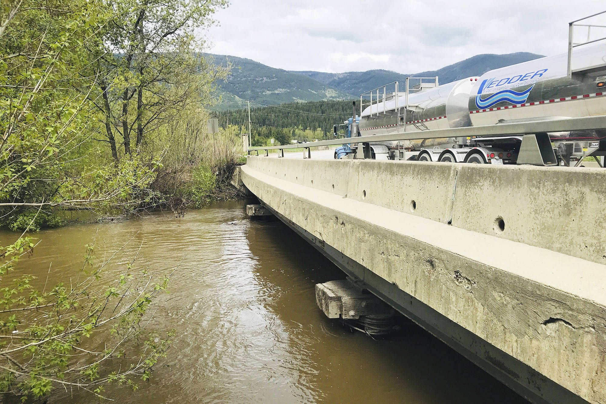
On May 7 at the Salmon River Bridge on Highway 1, the water was still about a foot-and-half below the bridge. In 2018 at this time, it was licking at the deck.
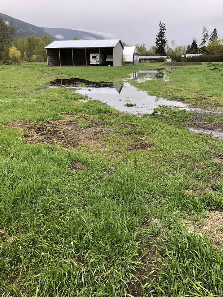
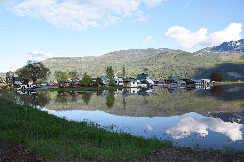
Brad DeMille at DeMille’s Farm Market said “Meech Lake” has once again returned to his property.
However, he said the river isn’t too threatening this year.
“It’s kind of typical flooding. I don’t anticipate a huge problem. We’re going to see if it rises this weekend. I honestly don’t think it’s as big a deal as it has been in the past.”
He attributes the difference between this year and the last two or three years to the absence of hot temperatures.
“A 26 degree day is what you need to get those upper level snows to start moving, and stay warm at night. Now when you walk out in the morning, you’re like burr, it’s six degrees out here.”
Although about 25 millimetres of rain fell on May 6, close to an inch, things have been very dry since the end of January, DeMille said.
He points to how short dandelions are, which he says is a good indicator of how cold it’s been this spring. The soil temperature is still about 10C, five degrees cooler than what is needed for good vegetable growth.
“It’s smarter than the rest of us. It doesn’t stick its neck out when it’s cold. It grows very close to the ground.”
Read more: 2018 In photos - Back to flooding
Read more: Flooding doesn’t worry First Nations man
Tom Hansen, the Columbia Shuswap Regional District’s emergency program co-ordinator, points out that the BC River Forecast Centre has maintained a High Streamflow advisory for the Salmon River.
Hansen said high temperatures forecast for the May 9 weekend may cause more snow melt at higher elevations, increasing flows.
Overall, “I believe we will continue to see many of our steep creeks potentially causing some issues and will be watching the weather closely. Heavy rainfalls will have the biggest effect.”
The good news, he said, is that some of the residents who live along the creeks and in the lower areas adjacent to rivers and lakes have been contacting the CSRD and protecting their property with sandbags.
Rodger DeMille, who lives near Salmon West Elementary and has seen plenty of flooding over the years, remains on the fence, his pant legs dry so far.
“It might come and it might not,” he said, pointing out more flooding is possible if there were really warm days combined with a good thunderstorm and lots of rain. With the late spring, he expects residents will find out in about a week.
For him, where he lives, flooding is just part of life.
“Living by a river’s a nice thing. You’ve got water mostly when you need it, but you do pay for it, one way or the other.”
marthawickett@saobserver.net
Like us on Facebook and follow us on Twitter