A severe thunderstorm watch is in effect for the Shuswap and Revelstoke areas.
On the morning of Friday, July 24, Environment Canada reported conditions were favourable for producing strong wind gusts, large hail and heavy rain in the North Okanagan-Shuswap and Revelstoke regions. Between five and 10mm of rain is in the forecast for the day, with showers and a risk of a thunderstorm early in the evening.
In Revelstoke, winds up to 20 km/hr were expected, becoming lighter later in the morning.
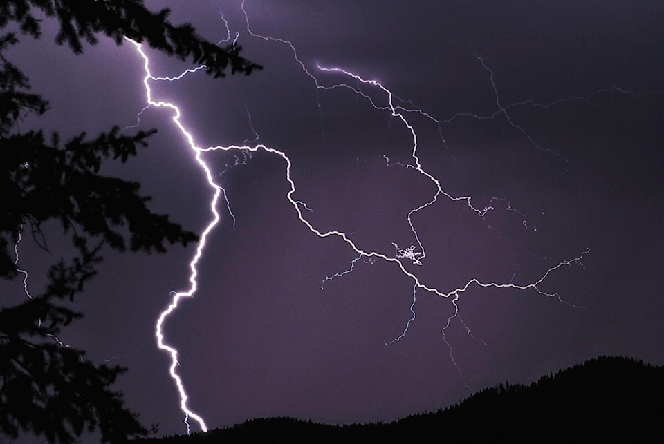
“Large hail can damage property and cause injury. Strong wind gusts can toss loose objects, damage weak buildings, break branches off trees and overturn large vehicles,” said the Environment Canada warning. “Intense lightning is likely with any thunderstorm that develops. Heavy downpours can cause flash floods and water pooling on roads… Remember, when thunder roars, go indoors!”
Severe Thunderstorm Watches just issued (9:26am PDT) for the #Okanagan #Columbias and #Kootenays #BCstorm pic.twitter.com/iKPk7UP523
— ECCC Weather British Columbia (@ECCCWeatherBC) July 24, 2020
Read more: Revelstoke RCMP search for 3 suspects involved in semi-truck crash, evading police
Read more: Emergency crews search water off popular Salmon Arm beach