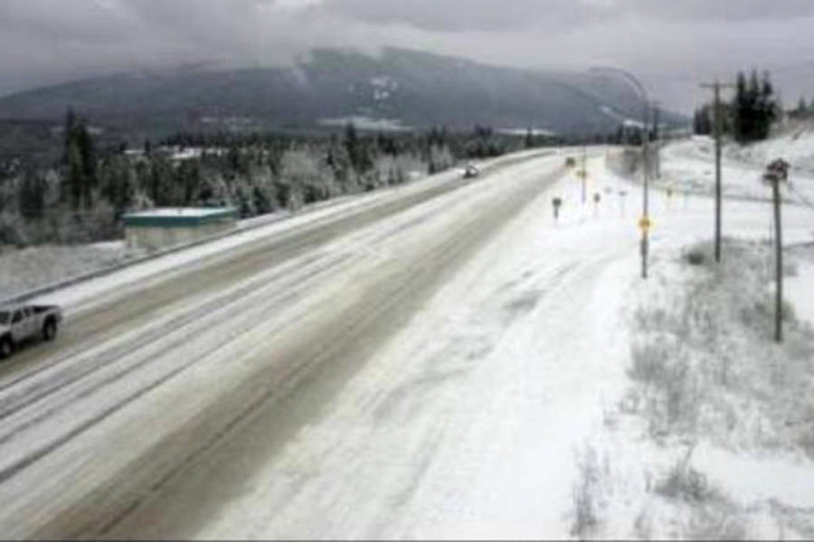
The watchword of the day is compact snow and slippery sections with a mix of snow and rain on the way in the Shuswap.
An intense frontal system moving over B.C. today is spreading snow across much of the Interior.
Over the Trans-Canada Highway between Eagle Pass to Rogers Pass, snow will become heavy this afternoon with amounts up to 20 centimetres expected before tapering off by early Wednesday morning, Environment Canada reports.
Motorists are warned to prepare for quickly changing and deteriorating travel conditions as rapidly accumulating snow will make travel difficult.
Related: Snowfall warning issued for Eagle Pass to Rogers Pass
In the Shuswap, periods of snow are expected to become mixed with rain this afternoon, with between 5 to 10 centimetres of snow.
Another two to four centimetres of snow are expected overnight.
In Salmon Arm, although snowplows are out, city workers have reported the streets are extremely slippery and drivers are urged to be cautious as everyone gets accustomed once again to driving on snowy roads.
Temperatures are expected to rise during the week, with Wednesday’s overnight low forecast at plus 2 C. Thursday is forecast to be cloudy with 60 per cent chance of showers and a high of 7 C.
Earlier this morning, Drive BC was reporting compact snow and slippery sections from 15 kilometres east of Chase to Sicamous.
@SalmonArm
barb.brouwer@saobserver.net
Like us on Facebook and follow us on Twitter