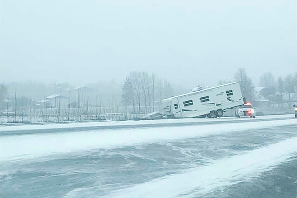
Five to 10 centimetres of heavy snow is expected to fall Thursday over the southern interior mountain passes and carry on through the weekend.
The special weather statement from Environment Canada is in effect for the Trans-Canada Highway between Eagle and Rogers Pass. Warnings for the Okanagan Connector, Coquihalla and Highway 3 have also been issued by the national weather agency.
The heaviest snow is expected to fall Dec. 19, but Environment Canada said periods of snow will continue over the weekend with additional accumulations.
“In advance of what could be a busy period for holiday travel, please keep an eye on route forecasts and be prepared for winter road conditions,” the bulletin reads.
“Weather in the mountains can change suddenly resulting in hazardous driving conditions,” the statement said.
Up to date road conditions are available on drivebc.ca.
READ MORE: WATCH: Vernon skate shop closing due to crime
READ MORE: Interior Health warns about opioid containing fentanyl, heroin and caffeine
@caitleerach
Caitlin.clow@vernonmorningstar.com
Like us on Facebook and follow us on Twitter.