By Barb Brouwer
Contributor
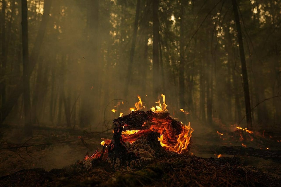
The Columbia Shuswap Regional District has sent letters to several property owners affected by the Bush Creek East wildfire that consumed 45,000 hectares, much of it in mountainous terrain.
Letters, 1,136 of them, advising that their properties or homes are at risk followed on the heels of a presentation to the November board meeting by BGC Engineering, the company hired to perform initial post-wildfire geohazard assessments in the area.
Gerald Christie, manager of development services, advised directors that CSRD hired the company in early September, with the initial geohazard assessment completed in about six to seven weeks.
“Thanks to them and their team; they knew about the importance of getting it finished in a timely fashion as a lot of residents are waiting for this work to be completed,” he said introducing Kris Holm, BCG principle geoscientist and Hazel Wong, an engineering geologist working directly with the regional district.
“It was identified by CSRD staff early on that there are other hazards going on in these watersheds that are already recognized, including geo-hazards such as floods and landslides that can be amplified by effects of wildfires and also present an urgent source of concern for affected community members,” said Holm, pointing out that rain events often follow wildfires.
“It was in that motivation that BGC was asked by CSRD to complete an emergency…assessment for the area impacted by the Bush Creek East wildfire.”
Holm pointed out that there are gaps in the initial emergency assessment due to lack of supporting information. These areas include the west side of Celista, southwest side of Hilna Creek along Meadow Creek Forest Service Road, west of Mount Riley and northeast of Squilax Mountain.
In her part of the presentation, Wong explained how, where and why geohazards are likely to occur, such as in upper watersheds, steep slopes and alluvial fans.
Read more: Sicamous trailer park at increased risk of debris flow following summer’s wildfire
Read more: B.C. wildfires: Drenching rain may bring relief, but also ‘debris flows’
She explained that where vegetation, including roots, are consumed, there are physical and chemical property changes to the soil which is topped off by an ash layer.
During a storm, the slope takes on more of the total rain because there is limited vegetation to intercept rain droplets, minimal absorption of the water and loss of roots that anchored the soil, all which results in a decrease in overall stability of the slope. In a watershed where fire has burned out vegetation, landslides are a potential hazard.
BGC has worked with CSRD for five years assessing possible hazards in other locations in order to provide an inventory to prioritize areas where further assessment is required.
“It is that homework, that preparation that comes before, that is so very useful in an emergency because we can build on that more than if we were starting from scratch right now without knowing anything about the hazard,” Holm said, noting that thanks to policies put in place before this fire, CSRD can now look to to see how things have changed and adjust decisions accordingly.
“When we do a study like this and we find that there is a change in the risk to public safety, we are required by law and morally to notify residents,” said Derek Sutherland, acting manager of community and protective services,
“We’ll continue to work behind the scenes to further define the risk and come up with mitigative options.”
Sutherland also pointed out that increased geohazard risk following a wildfire is often temporary. After vegetation starts to regrow, slopes stabilize, with risk significantly diminished in three to five years.
In order to acquire a building permit, property owners who wish to build in the high-risk areas will be required to have a site-specific assessed by a qualified geohazard specialist.
Following BGC’s presentation, CSRD board chair Kevin Flynn noted the board’s responsibility.
“The board has to manage risk and the board has to make sure that before people build, it can be as safe as it could be,” he said.