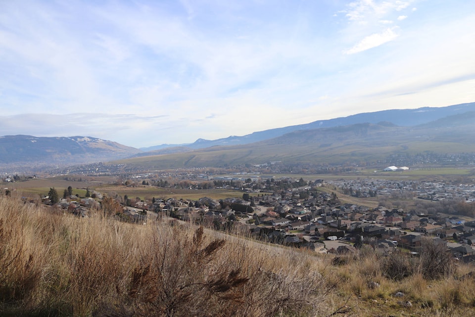
In 2023, Okanagan was the driest it’s been in more than 110 years and January’s forecast is providing little optimism that the region’s “precipitation deficit” is just a fad.
Environment Canada says Kelowna and Penticton logged record lows for rain and snow last year, with the cities seeing just 39 and 46 per cent of their normal precipitation levels, respectively.
Although snow is in the forecast for most of the region this week, meteorologists aren’t convinced it will provide much relief for the drought-like conditions.
“We’re going to see some snow and that’s going to make driving difficult for people on the highways but it’s not going to do anything to alleviate the long-term, drought conditions that we have seen,” said Brian Proctor, a meteorologist at Environment and Climate Change Canada.
Dry conditions in the Okanagan were complimented by warmer-than-normal temperatures in 2023. Year-end statistics for the Shuswap were not made available, however, Proctor says cities like Salmon Arm still find themselves in a deficit as 2024 begins.
Penticton
Mean temperature in 2023: 10.6 C (fourth warmest on record dating back to 1909)
Normal: 9.5 C
Total precipitation in 2023: 160.43 mm (second driest on record dating back to 1909)
Normal: 346 mm
Kelowna
Mean temperature in 2023: 10.4 C (third warmest on record dating back 1904)
Normal: 8.1 C
Total precipitation in 2023: 152.5 mm (driest on record dating back to 1903)
Normal: 386.9 mm
Vernon
Mean temperature in 2023: 10 C (warmest on record dating back to 1902)
Normal: 7.7 C
Precipitation data not available
“Our winter to this point has been dominated by El Niño,” Proctor said, referring to the weather phenomenon that typically brings milder temperatures. “It’s brought this warm air up and spotty precipitation if anything.”
Proctor did note that Penticton recorded normal monthly precipitation levels through December.
But that, combined with January’s minimal snowfall projection, won’t be enough to erase what’s been a drier-than-normal period region-wide. It’s also bringing along several concerns at the federal office, some that could even extend into this summer.
“If we don’t get a lot of snowpack in the winter time, we have a problem with water resource allocations moving into the spring, which impacts agriculture,” he explained. “The second issue relates to wildfires…without that precipitation in the winter, it exacerbates the drought situation even further.”
Proctor says the region can expect around five centimetres of snow on Jan. 5, or closer to 10 cm at the higher elevations. Temperatures through Jan. 8 aren’t expected to fall below -2 C, according to projections made by the federal forecaster.
“It’s a very significant drought situation and we’re not seeing much in terms of snowpack up on the higher elevations yet either, which is more concerning than not having rainfall, Proctor said.
“Not having snowpack is going to be potentially very problematic going forward.”
READ MORE: White Christmas in the Okanagan? Don’t count on it, experts say