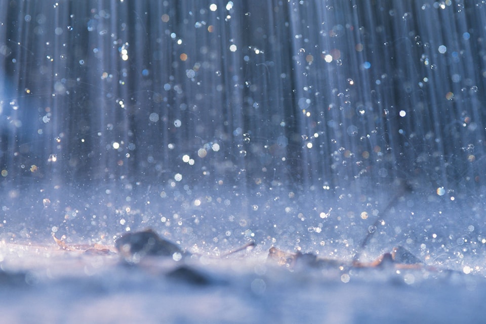
Find your umbrellas.
For the first time in several months, the bright yellow sun icon on the Environment Canada website has been replaced with several grey and blue ones, indicating showers over the weekend for the Shuswap.
The rain will be delivered by a cold front moving in from the west tomorrow, with winds picking up to 20 km/h and gusts of up to 40 km/h.
Kamloops Fire Centre Fire Information Officer Justine Hunse says there is a 30 to 40 per cent chance of dry lightning in the north and east sections of the fire centre as the front advances.
Although welcome, the forecast is only for showers, with no suggested accumulation.
This is far short of the precipitation needed to quell fires in the Interior, so caution remains the watchword.
The risk remains grave and Hunse points to the fact that two recent spotfires, one near Sicamous and the other near Falkland, are suspected to have been human caused.
Discovered shortly after midnight on Wednesday, Sept. 6, fire K32065 near Falkland was quickly extinguished by three Wildfire BC personnel.
Although she has no information as to why, Hunse says Fire K42006 discovered near Falkland Tuesday night was also quickly knocked down without the services of Wildfire BC.