If you are planning to drive to Calgary, you might want to leave early today.
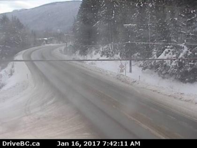
An Environment Canada weather alert issued at 4:56 this morning calls for substantial snow to begin on the Trans-Canada Highway between Eagle Pass and Rogers Pass.
Snow will begin near noon across Rogers Pass as a series of Pacific fronts move across the region.
Snowfall, with total amounts of about 25 centimetres is expected.
The snow will intensify tonight and likely persist through Tuesday. Snowfall accumulations of up to 25 cm can be expected by Tuesday morning.
Visibility may be suddenly reduced at times in heavy snow. Surfaces such as highways, roads, walkways and parking lots may become difficult to navigate due to accumulating snow.
In the Shuswap, make sure your snowblower, shovel and maybe umbrella are handy.
Snow is expected to begin this morning, with daytime accumulations of two to four centimetres, with another 5 to 10 cm tonight and 2 to 4 cm tomorrow,
Tuesday night's snow or rain is forecast to turn to periods of full-on rain and highs of 5 C.
It will be rain until Friday, when the temperature is expected to drop and precipitation will turn to flurries.